Description
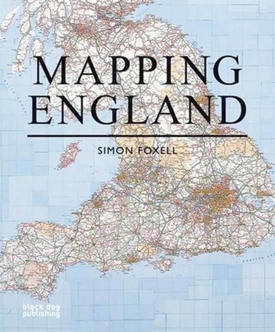
England has been continuously mapped from Medieval times to the present; politically, administratively and functionally as well as creatively and imaginatively. Maps have helped to define ideas of what England is and could be. They have developed and maintained its identity amongst other nations and explored its essential character and limits. The maps included show a country at times confident but also unsure of itself. Often drawn for purely practical purposes they frequently and unconsciously reveal the true state of the nation, and the hopes and fears of its inhabitants. England has been the crucible for many of the most significant developments in cartography and Mapping England tells the story of how its position in the world has evolved and, in so doing, entails new ways of seeing and expressing such findings in graphic form.
- Langue
- en
- Version
- Couverture rigide
- Date de sortie initiale
- 01 septembre 2008
- Nombre de pages
- 271
- Illustrations
- Avec illustrations
Personnes impliquées
- Auteur principal
-
Simon Foxell
- Rédacteur en chef
-
Blanche Craig
- Editeur principal
-
Black Dog Press
Informations sur le fabricant
- Nom du fabricant
- Libri GmbH
- Adresse électronique du fabricant
- gpsr@libri.de
- Informations sur le fabricant
- Les autres informations du fabricant ne sont actuellement pas disponibles
Autres spécifications
- Hauteur de l’emballage
- 27 mm
- Hauteur du produit
- 25 mm
- Largeur d’emballage
- 245 mm
- Largeur du produit
- 246 mm
- Livre d‘étude
- Oui
- Longueur d’emballage
- 300 mm
- Longueur du produit
- 295 mm
- Poids de l’emballage
- 1950 g
- Police de caractères extra large
- Non
- Édition
- illustré ed
EAN
- EAN
- 9781906155513
Sécurité des produits
- Opérateur économique responsable dans l’UE
-
Afficher les données
Vous trouverez cet article :
- Catégories
-
Science et nature
Histoire
Terre et environnement
Géographie
Cartographie
Cartes géographiques
Atlas et cartes du monde
Livres
- Livre, ebook ou livre audio ?
-
Livre
- Disponibilité
-
Disponible à l’adresse suivante
- Langue
-
Anglais
- Type de livre
-
Hardcover